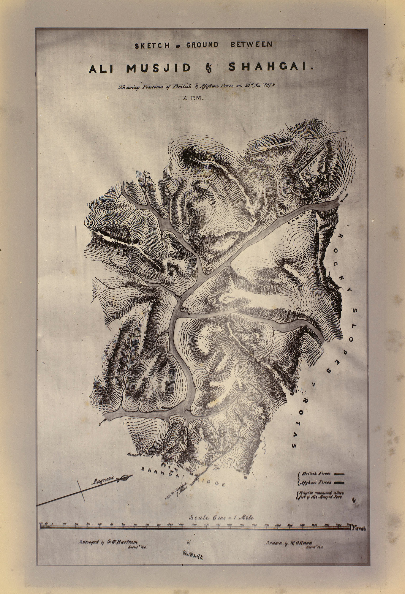
John Burke 1878-1879 Map of the ground between Ali Musjid and Shahgai in the Khyber Pass, showing the position of British and Afghan forces on the 21st of November 1878 at 4.00pm [Afghan War 1878-79 Peshawur Valley Field Force J. Burke.]
Photograph of a map of the ground between Ali Musjid and Shahgai in the Khyber Pass, showing the position of British and Afghan forces on the 21st of November 1878 at 4.00pm. The map shows the contours of the mountains, the shape of the river and the position of the forces marked by dark lines. Below the map there is a key and scale. This map was created by G W Bartram and W G Knox in preparation for the imminent British move to take the Khyber Pass at the start of the Second Anglo-Afghan War (1878-80). Accurate maps were essential in navigating the hostile mountainous territory of Afghanistan.
From the collection of King Edward VII when Prince of Wales